
In the 4th century BCE, the navigator Pytheas of Massalia embarked upon a voyage of unprecedented ambition, venturing from the Mediterranean into the North Atlantic. His journey was not merely an act of discovery but a sophisticated exercise in scientific navigation, pushing the boundaries of the known Greek world far into the cold northern latitudes.
Pytheas’s success depended on methodical calculation rather than chance. As an accomplished astronomer, he reportedly utilized a gnomon, an early form of sundial, to determine his latitude with remarkable precision. This scientific approach to navigation set him apart from contemporary mariners who relied primarily on coastal landmarks. By calculating the position of the North Star relative to the horizon, he could maintain a consistent heading in open water, a critical strategy for navigating the vast and unfamiliar seas beyond the Pillars of Hercules.
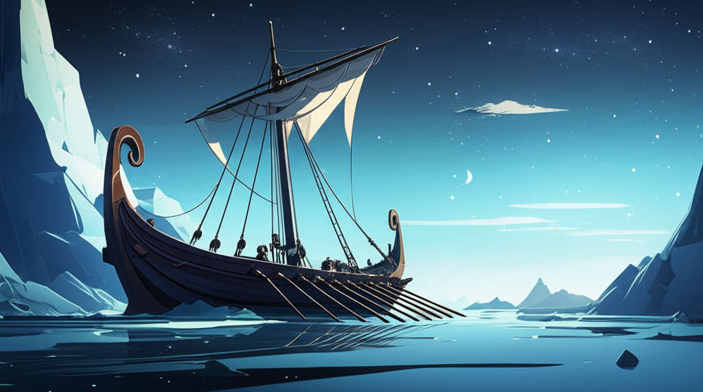
His accounts described the land of Thule, located six days’ sail north of Britain, where the sun barely set during the summer solstice. This observation, while appearing fantastic to his Mediterranean contemporaries, was an accurate description of the midnight sun phenomenon near the Arctic Circle. Furthermore, his report of a “congealed sea”—a sludgy, semi-frozen ocean—provided the classical world with its first, albeit disbelieved, account of sea ice. Though figures like Strabo later dismissed his findings, Pytheas’s expedition remains a monumental testament to early scientific exploration and the strategic application of astronomical knowledge to geography.