
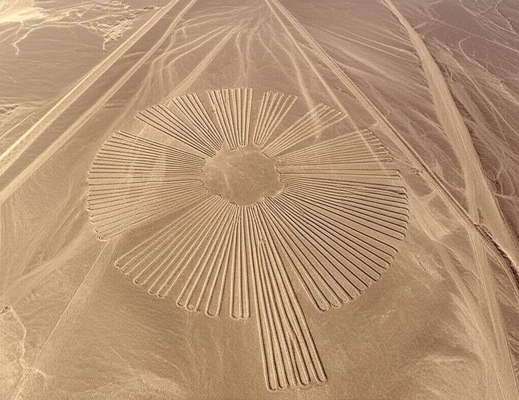
Etched into the arid soil of the Pampa de San José, the Nazca Lines remain one of antiquity’s most profound enigmas. Created by the Nazca culture between 500 BCE and 500 CE, these massive designs demonstrate a level of surveying complexity that suggests a highly organized society. Scholars have long debated the strategic intent behind these earthworks, seeking to identify the functional or theological imperatives that drove such labor-intensive construction.
Early analysis, championed by figures such as Maria Reiche, posited that the network served as an immense astronomical calendar. In this interpretation, the extensive straight lines acted as sightlines pointing toward the rising and setting of celestial bodies. The precision of the geoglyphs implied that the civilization utilized the desert floor as a vast observatory, marking solstices and equinoxes to determine optimal planting cycles for agriculture.
However, subsequent historical inquiry shifted focus toward the region’s most critical resource: water. Later researchers proposed that the lines mapped underground aquifers or traced paths for ritual processions dedicated to water deities. The geometric shapes likely functioned as stages for ceremonial walking or offerings intended to secure rain in one of the driest environments on Earth. Consequently, the prevailing consensus views the site not merely as a map of the stars, but as a sacred landscape integrated with the hydrological survival strategies of a fragile civilization.