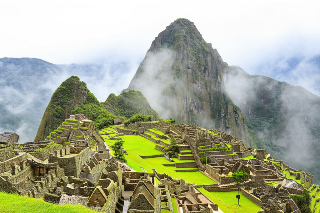
The 1911 Yale Peruvian Expedition, under the direction of historian Hiram Bingham III, was not initially chartered to find the now-famous citadel. Its primary strategic objective was the location of Vilcabamba, the final stronghold of the Inca state during its protracted resistance against Spanish conquest. Operating in the Urubamba Valley, Bingham’s search was redirected by local accounts of substantial ruins situated atop a mountain ridge. This pivotal reliance on regional knowledge underscores that the expedition’s ultimate success was contingent less on preconceived maps and more on adaptive field intelligence.
On July 24, 1911, guided by a local farmer, Melchor Arteaga, Bingham ascended to the site. He did not encounter a city entirely lost to time but rather a sprawling complex known to and partially cultivated by local Quechua families. The stonework was largely obscured by centuries of dense vegetation, yet the agricultural terraces remained in use. The concept of a “discovery,” therefore, is a misnomer from a local perspective; the citadel was never truly lost to its immediate inhabitants.
Bingham’s historical contribution was not the discovery itself, but its systematic documentation and subsequent global announcement. Supported by the National Geographic Society, his work initiated the formal archaeological study of Machu Picchu, elevating it from a secluded mountain estate to an unparalleled monument of Inca engineering and civilization. This act of scientific revelation, rather than pure discovery, placed the site firmly into the global historical narrative.